Enhancing Fertiliser Spreading Efficiency with Drone Mapping
Precision is essential in modern agriculture, and drone mapping is emerging as a game-changing technology for improving fertiliser spreading efficiency. But how exactly does it work, and what are the key benefits? Let’s take a closer look.

What is Drone Mapping?
Drone mapping involves the use of unmanned aerial vehicles (UAVs) equipped with high-tech imaging tools to create detailed, real-time maps of agricultural fields. These maps provide accurate insights into crop health, soil conditions, and terrain. This precise data is particularly valuable when it comes to fertiliser application.
Optimizing Fertiliser Application
Drone mapping allows farmers to identify specific areas where fertiliser is most needed. Traditional methods often apply fertiliser evenly across an entire field, which can lead to inefficient use, excess application, and runoff. By contrast, drone mapping pinpoints areas that require more nutrients, enabling farmers to apply fertiliser selectively and more efficiently.
Research shows that using variable rate technology (VRT) informed by drone data can cut fertiliser costs by as much as 30%, significantly boosting both efficiency and cost-effectiveness.
Improved Coverage and Efficiency
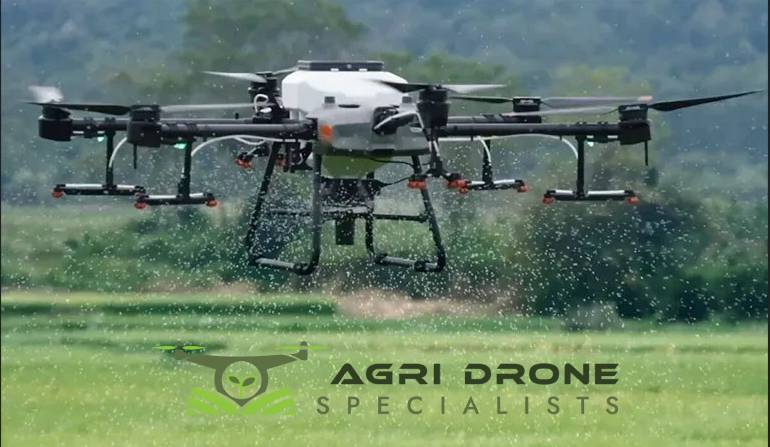
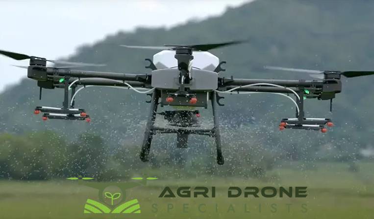
Drones excel at covering large areas quickly and can easily navigate challenging terrains that traditional farming equipment struggles with. This is especially useful for tasks like gorse spraying and managing dense forestry areas, such as in Nelson, where the landscape can hinder conventional machinery. Drones can assess these environments thoroughly, leading to more effective treatment and management.
Real-Time Data for Immediate Adjustments
One of the key benefits of drone mapping is its ability to provide real-time data. Farmers can monitor crop conditions on the spot and adjust their fertilisation strategies as needed. If a particular section of a field is nutrient-deficient, it can be addressed immediately, ensuring optimal growing conditions throughout the season.
Promoting Environmental Sustainability
In addition to improving efficiency, drone mapping supports environmental sustainability. By applying fertiliser only where necessary, farmers can reduce nutrient runoff into nearby water sources, helping to preserve local ecosystems while maintaining high productivity levels. This targeted approach minimizes waste and promotes a more sustainable form of agriculture.

Conclusion
Incorporating drone mapping into fertiliser application strategies brings significant advantages, from reducing costs to promoting environmental protection. The future of agriculture is taking flight with this innovative technology, transforming traditional practices and making farming more efficient.
For cutting-edge drone mapping and fertiliser spreading services in Nelson, Agri Drone Specialists is here to help you elevate your farming practices with advanced aerial solutions!
Link Densustotositus togel